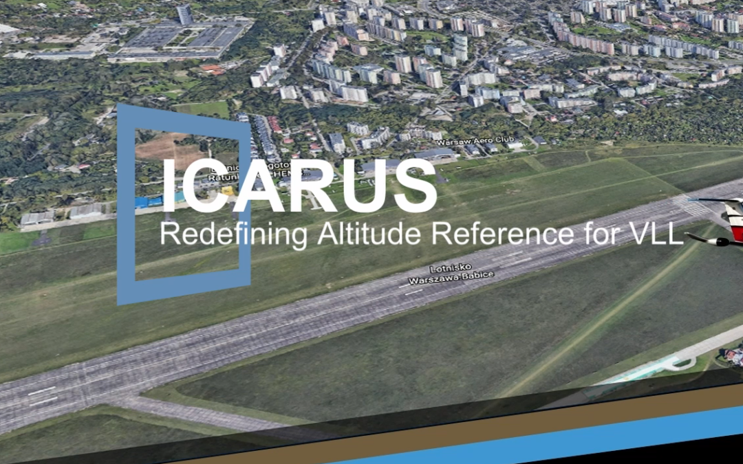
The partners of the ICARUS consortium have experienced how difficult is to explain the complexity of the issues involved in a Common Altitude Reference in the extremely dynamic Very Low-Level airspace.
For that reason, we have created a video that shows these complexities in a very graphical way. The video depicts three common scenarios:
1) Inaccuracy of the QNH reference shown when a General Aviation airplane lands in an airfield
2) Height above take-off point is not enough to avoid obstacles in the ground
3) The human factor in the QNH reference
We hope you enjoy the animation and that it helps understand the challenges posed by the ICARUS concept.